
Dosya:Rutland UK location map.svg

Bu SVG dosyasının PNG önizlemesinin boyutu: 750 × 600 piksel. Diğer çözünürlükler: 300 × 240 piksel | 600 × 480 piksel | 960 × 768 piksel | 1.280 × 1.024 piksel | 2.560 × 2.048 piksel | 1.425 × 1.140 piksel.
Tam çözünürlük (SVG dosyası, sözde 1.425 × 1.140 piksel, dosya boyutu: 856 KB)
Bu dosya Wikimedia Commons'ta bulunmaktadır. Dosyanın açıklaması aşağıda gösterilmiştir. Commons, serbest/özgür telifli medya dosyalarının bulundurulduğu depodur. Siz de yardım edebilirsiniz. |
| Açıklama |
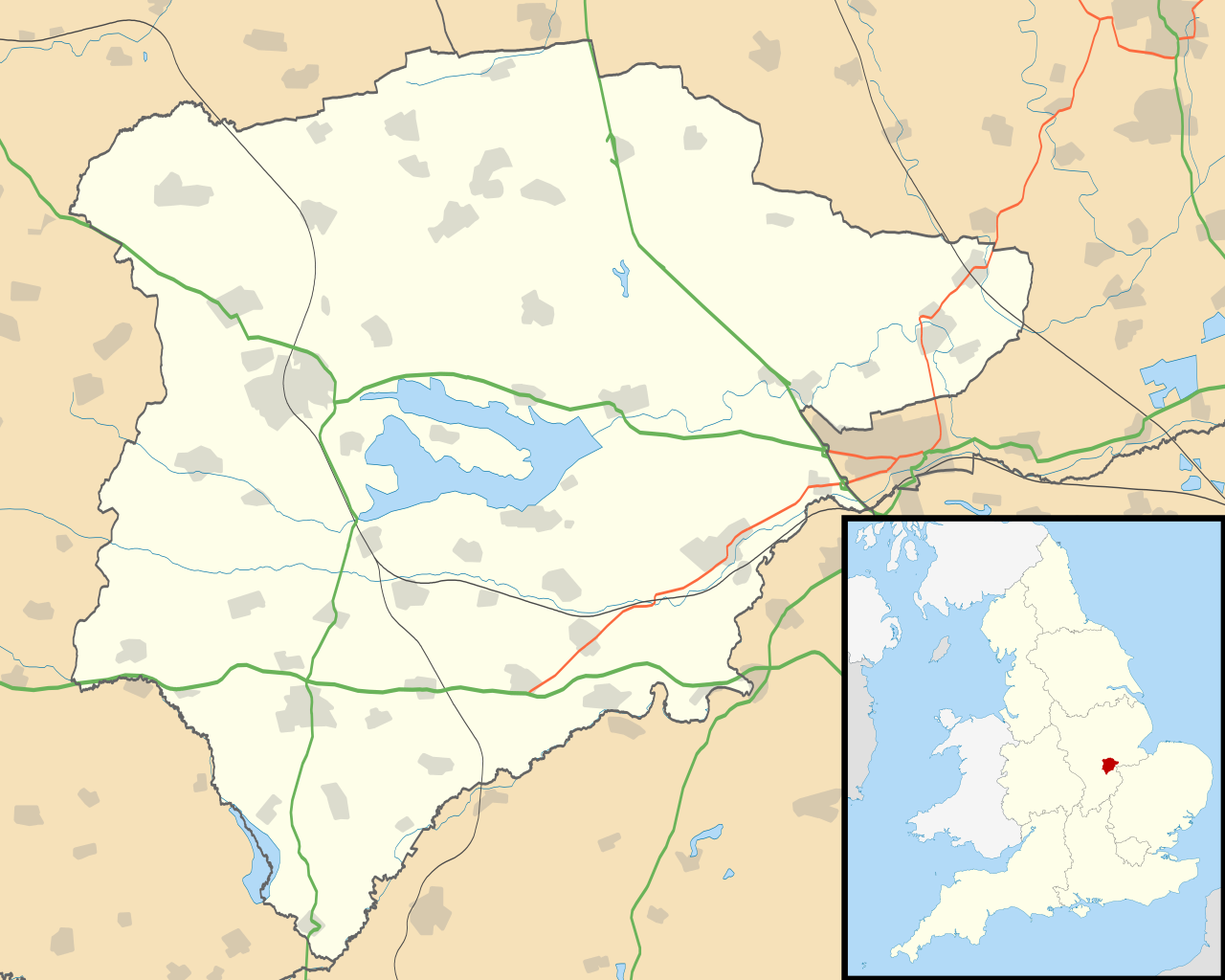
Map of Rutland, UK with the following information shown:
Equirectangular map projection on WGS 84 datum, with N/S stretched 160% Geographic limits:
|
| Tarih | |
| Kaynak |
|
| Yazar | Nilfanion, created using Ordnance Survey data |
| İzin (Bu dosyanın tekrar kullanımı) |
Bu dosya, Creative Commons Atıf-Benzer Paylaşım 3.0 Taşınmamış lisansı ile lisanslanmıştır Atıf: Contains Ordnance Survey data © Crown copyright and database right
|
| Diğer sürümler | File:Rutland UK district map (blank).svg - Blank map |
.svg)
Dosya geçmişi
Dosyanın herhangi bir zamandaki hâli için ilgili tarih/saat kısmına tıklayın.
| Tarih/Saat | Küçük resim | Boyutlar | Kullanıcı | Yorum | |
|---|---|---|---|---|---|
| güncel | 19.10, 26 Eylül 2010 | | 1.425 × 1.140 (856 KB) | Nilfanion | {{Information |Description=Map of Rutland, UK with the following information shown: *Administrative borders *Coastline, lakes and rivers *Roads and railways *Urban areas Equirectangular map projection on WGS 84 datum, with N/S stretched 160 |
Dosya kullanımı
Bu görüntü dosyasına bağlantısı olan sayfalar:
Küresel dosya kullanımı
Aşağıdaki diğer vikiler bu dosyayı kullanır:
- af.wikipedia.org üzerinde kullanımı
- ar.wikipedia.org üzerinde kullanımı
- bg.wikipedia.org üzerinde kullanımı
- ceb.wikipedia.org üzerinde kullanımı
- en.wikipedia.org üzerinde kullanımı
- Oakham
- Uppingham
- RAF Cottesmore
- Wing, Rutland
- Stretton, Rutland
- Langham, Rutland
- Pickworth, Rutland
- Great Casterton
- Ryhall
- Little Casterton
- Tixover
- North Luffenham
- RAF North Luffenham
- Whitwell, Rutland
- Braunston-in-Rutland
- Whissendine
- Ashwell, Rutland
- Ayston
- Barleythorpe
- Barrow, Rutland
- Barrowden
- Belton-in-Rutland
- Bisbrooke
- Brooke, Rutland
- Burley, Rutland
- Caldecott, Rutland
- Clipsham
- Cottesmore, Rutland
- Edith Weston
- Egleton
- Empingham
- Essendine
- Exton, Rutland
- Glaston
- Greetham, Rutland
- Gunthorpe, Rutland
- Hambleton, Rutland
- Ketton
- Lyddington
- Lyndon, Rutland
- Manton, Rutland
- Market Overton
- Morcott
- Normanton, Rutland
- Pilton, Rutland
Bu dosyanın daha fazla küresel kullanımını görüntüle.