
Dosya:Mexico Quintana Roo location map.svg

Bu SVG dosyasının PNG önizlemesinin boyutu: 409 × 600 piksel. Diğer çözünürlükler: 163 × 240 piksel | 327 × 480 piksel | 523 × 768 piksel | 698 × 1.024 piksel | 1.396 × 2.048 piksel | 960 × 1.408 piksel.
Tam çözünürlük (SVG dosyası, sözde 960 × 1.408 piksel, dosya boyutu: 832 KB)
Bu dosya Wikimedia Commons'ta bulunmaktadır. Dosyanın açıklaması aşağıda gösterilmiştir. Commons, serbest/özgür telifli medya dosyalarının bulundurulduğu depodur. Siz de yardım edebilirsiniz. |
Özet
W3C-validity not checked.
| Açıklama |
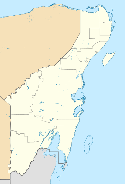
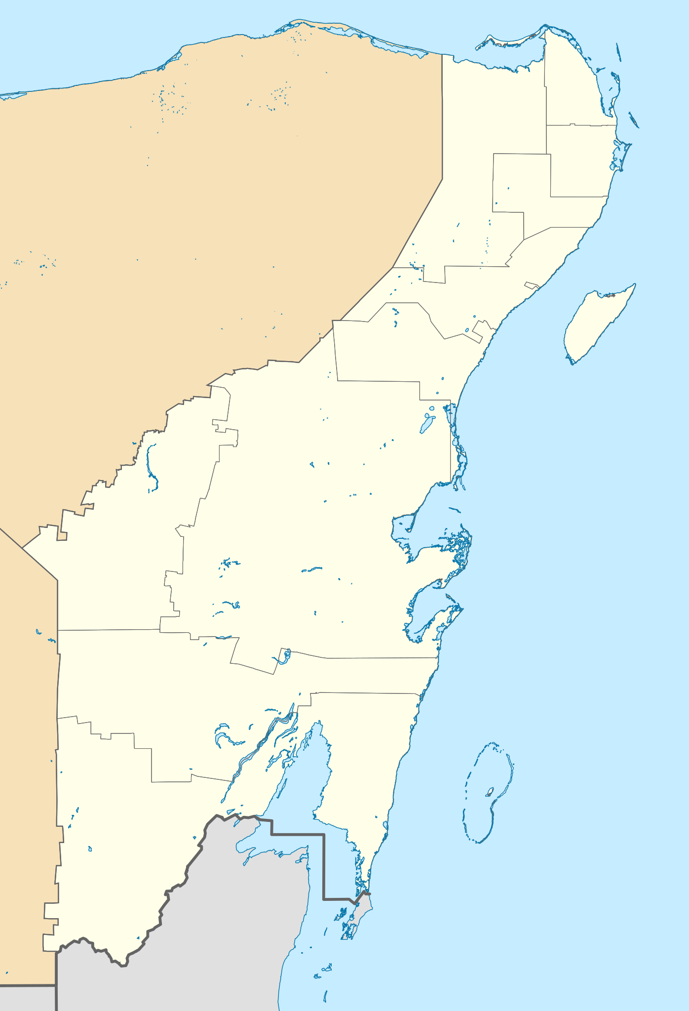
Location Map of Quintana Roo. EPSG:3857 projection, Geographic limits of the map:
|
| Tarih | |
| Kaynak |
|
| Yazar | Addicted04 (talk) |
Lisanslama
Ben, bu işin telif sahibi, burada işi aşağıdaki lisans altında yayımlıyorum:
Bu dosya, Creative Commons Atıf-Benzer Paylaşım 3.0 Taşınmamış lisansı ile lisanslanmıştır
- Şu seçeneklerde özgürsünüz:
- paylaşım – eser paylaşımı, dağıtımı ve iletimi
- içeriği değiştirip uyarlama – eser adaptasyonu
- Aşağıdaki koşullar geçerli olacaktır:
- atıf – Esere yazar veya lisans sahibi tarafından belirtilen (ancak sizi ya da eseri kullanımınızı desteklediklerini ileri sürmeyecek bir) şekilde atıfta bulunmalısınız.
- benzer paylaşım – Maddeyi yeniden karıştırır, dönüştürür veya inşa ederseniz, katkılarınızı orijinal olarak aynı veya uyumlu lisans altında dağıtmanız gerekir.
Dosya geçmişi
Dosyanın herhangi bir zamandaki hâli için ilgili tarih/saat kısmına tıklayın.
| Tarih/Saat | Küçük resim | Boyutlar | Kullanıcı | Yorum | |
|---|---|---|---|---|---|
| güncel | 15.48, 22 Temmuz 2021 | | 960 × 1.408 (832 KB) | Alnatuo | Corrected border positions |
| 14.46, 22 Temmuz 2021 |  | 960 × 1.408 (832 KB) | Alnatuo | Reverted to version as of 14:35, 22 July 2021 (UTC) | |
| 14.44, 22 Temmuz 2021 |  | 960 × 1.408 (850 KB) | Alnatuo | Reverted to version as of 22:38, 26 April 2015 (UTC) | |
| 14.35, 22 Temmuz 2021 |  | 960 × 1.408 (832 KB) | Alnatuo | Added Municipality of Puerto Morelos | |
| 22.38, 26 Nisan 2015 |  | 960 × 1.408 (850 KB) | Addicted04 | Fix | |
| 16.42, 25 Nisan 2015 |  | 960 × 1.408 (850 KB) | Addicted04 | New map (INEGI 2014) | |
| 22.37, 17 Mart 2012 |  | 1.056 × 1.408 (341 KB) | Battroid | == Summary == {{ValidSVG}} {{Information |Description=Location Map of Quintana Roo Equirectangular projection, E/W stretching 110 %. Geographic limits of the map: * N: 21.70° N * S: 17.70° N * W: 89.40° W * E: 86.50° W |Source=... | |
| 19.03, 20 Kasım 2011 |  | 1.056 × 1.408 (326 KB) | Addicted04 | borders | |
| 00.05, 8 Ağustos 2011 |  | 1.056 × 1.408 (326 KB) | Addicted04 | +Bacalar | |
| 23.33, 7 Ağustos 2011 |  | 1.056 × 1.408 (325 KB) | Addicted04 | +Banco Chinchorro |
Dosya kullanımı
Bu görüntü dosyasına bağlantısı olan sayfalar:
Küresel dosya kullanımı
Aşağıdaki diğer vikiler bu dosyayı kullanır:
- ar.wikipedia.org üzerinde kullanımı
- ba.wikipedia.org üzerinde kullanımı
- bg.wikipedia.org üzerinde kullanımı
- ceb.wikipedia.org üzerinde kullanımı
- ce.wikipedia.org üzerinde kullanımı
- de.wikipedia.org üzerinde kullanımı
- Cancún
- Cozumel
- X-Cacal Guardia
- Felipe Carrillo Puerto (Quintana Roo)
- Chetumal
- Playa del Carmen
- Sistema Sac Actun
- Flughafen Cancún
- Wikipedia:Kartenwerkstatt/Positionskarten/Nordamerika
- Estadio Beto Ávila
- Punta Allen
- Estadio Olímpico Andrés Quintana Roo
- Benutzer:Alfie66/Spielwiese
- Sistema Ox Bel Ha
- Cobá (Ort)
- Punta Nizuc
- Sistema Dos Ojos
- Puerto Morelos
- Holbox
- Vorlage:Positionskarte Mexiko Quintana Roo
- Bacalar
- Laguna Boca Paila
- Akumal
- Benutzer:Wasquewhat/Xpu-Há
- Choo-Ha
- San Miguel de Cozumel
- Flughafen Tulum
- en.wikipedia.org üzerinde kullanımı
Bu dosyanın daha fazla küresel kullanımını görüntüle.