
Dosya:Greater Manchester UK relief location map.jpg

Bu önizlemenin boyutu: 800 × 557 piksel. Diğer çözünürlükler: 320 × 223 piksel | 640 × 446 piksel | 1.024 × 714 piksel | 1.280 × 892 piksel | 1.999 × 1.393 piksel.
Tam çözünürlük ((1.999 × 1.393 piksel, dosya boyutu: 332 KB, MIME tipi: image/jpeg))
Bu dosya Wikimedia Commons'ta bulunmaktadır. Dosyanın açıklaması aşağıda gösterilmiştir. Commons, serbest/özgür telifli medya dosyalarının bulundurulduğu depodur. Siz de yardım edebilirsiniz. |
| Açıklama |
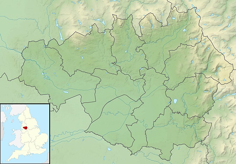
Relief map of Greater Manchester, UK. Equirectangular map projection on WGS 84 datum, with N/S stretched 165% Geographic limits:
|
| Tarih | |
| Kaynak |
|
| Yazar | Nilfanion, created using Ordnance Survey data |
| İzin (Bu dosyanın tekrar kullanımı) |
Bu dosya, Creative Commons Atıf-Benzer Paylaşım 3.0 Taşınmamış lisansı ile lisanslanmıştır Atıf: Contains Ordnance Survey data © Crown copyright and database right
|
| Diğer sürümler | File:Greater Manchester UK district map (blank).svg - Blank map |
.svg)
Dosya geçmişi
Dosyanın herhangi bir zamandaki hâli için ilgili tarih/saat kısmına tıklayın.
| Tarih/Saat | Küçük resim | Boyutlar | Kullanıcı | Yorum | |
|---|---|---|---|---|---|
| güncel | 01.37, 29 Kasım 2011 | | 1.999 × 1.393 (332 KB) | Nilfanion | {{Information |Description=Relief map of Greater Manchester, UK. Equirectangular map projection on WGS 84 datum, with N/S stretched 165% Geographic limits: *West: 2.80W *East: 1.90W *North: 53.70N *South: 53.32N |Source=[[w:Ordn |
Dosya kullanımı
Bu görüntü dosyasına bağlantısı olan sayfalar:
Küresel dosya kullanımı
Aşağıdaki diğer vikiler bu dosyayı kullanır:
- ar.wikipedia.org üzerinde kullanımı
- bg.wikipedia.org üzerinde kullanımı
- bn.wikipedia.org üzerinde kullanımı
- ceb.wikipedia.org üzerinde kullanımı
- el.wikipedia.org üzerinde kullanımı
- en.wikipedia.org üzerinde kullanımı
- Chetham's Library
- River Irk
- Werneth Low
- Dovestone Reservoir
- Strinesdale Reservoir
- Winter Hill transmitting station
- Battle of Wigan Lane
- Hollingworth Lake
- Winter Hill (North West England)
- Saddleworth Moor
- Blackstone Edge
- Chew Valley, Greater Manchester
- Chew Reservoir
- Hollingworth Reservoir
- Black Chew Head
- Hartshead Pike
- Crompton Moor
- Ogden Reservoir (Greater Manchester)
- Geography of Greater Manchester
- Oceânico Group Pro-Am Challenge
- Kersal Moor
- Manchester Bolton & Bury Reservoir
- Kitcliffe Reservoir
- Piethorne Reservoir
- Rooden Reservoir
- Norman Hill Reservoir
- Hanging Lees Reservoir
- Watergrove Reservoir
- Blackstone Edge Reservoir
- Brown Wardle Hill
- Yeoman Hey Reservoir
- Ashworth Moor Reservoir
- Brushes Clough Reservoir
Bu dosyanın daha fazla küresel kullanımını görüntüle.