
Dosya:German Empire 1937 adm location map.svg

Tam çözünürlük (SVG dosyası, sözde 1.425 × 1.133 piksel, dosya boyutu: 763 KB)
Bu dosya Wikimedia Commons'ta bulunmaktadır. Dosyanın açıklaması aşağıda gösterilmiştir. Commons, serbest/özgür telifli medya dosyalarının bulundurulduğu depodur. Siz de yardım edebilirsiniz. |
Özet
| Açıklama |
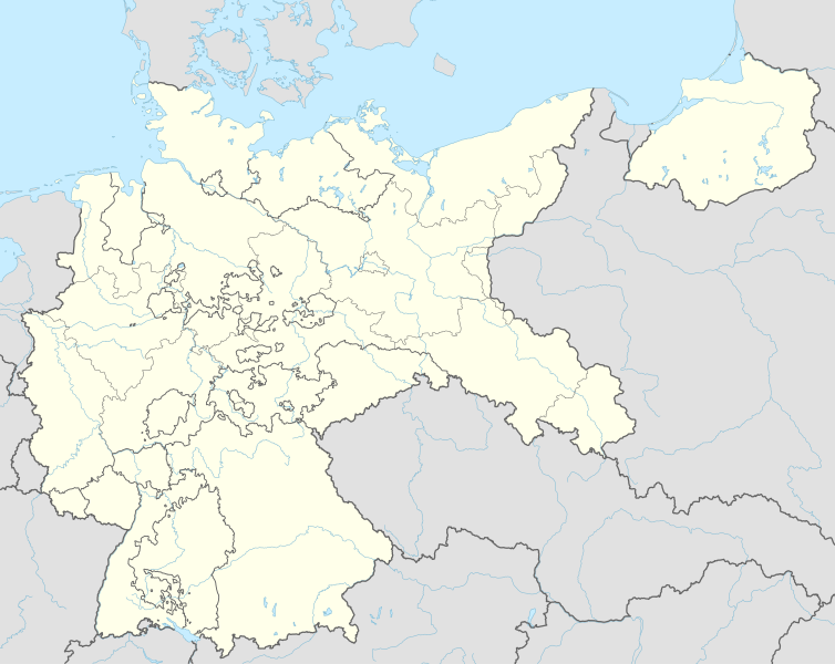
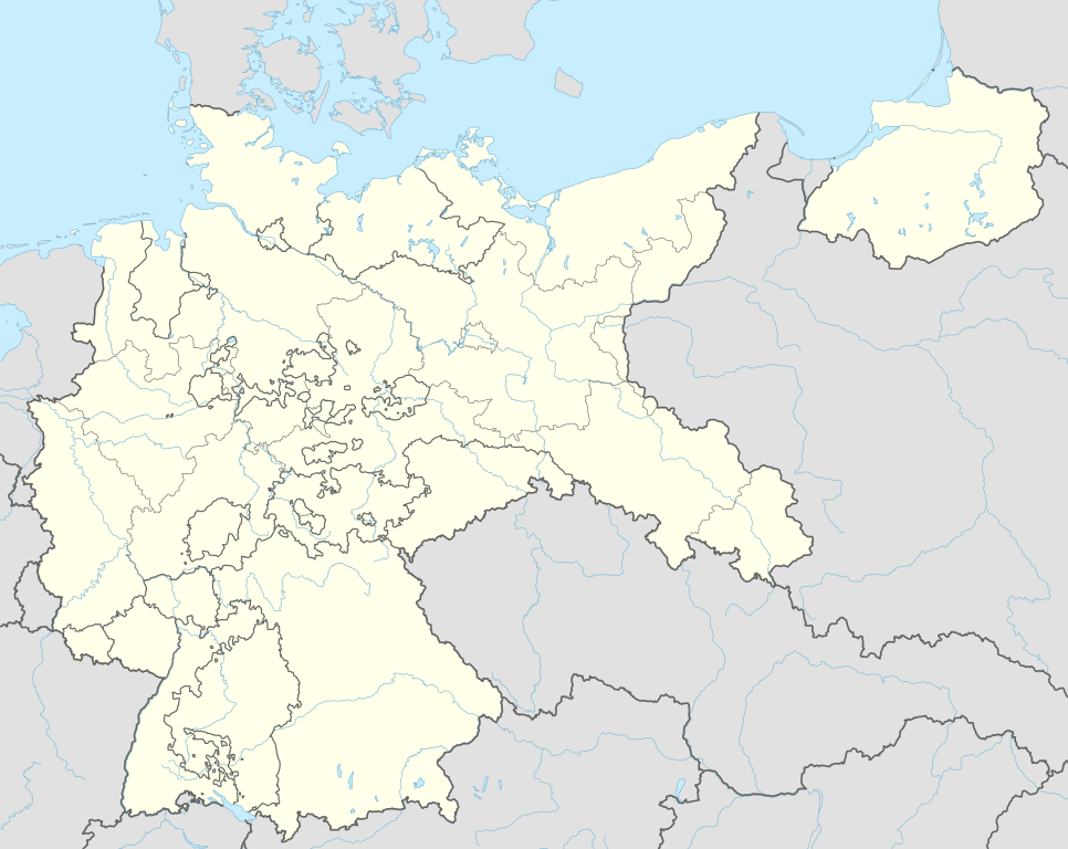
Deutsch: Positionskarte für das Deutsche Reich, 1937
English: Location map of the German Reich (Germany), 1937
|
||||||||||||
| Tarih | |||||||||||||
| Kaynak |
Own work using:
|
||||||||||||
| Yazar | NordNordWest | ||||||||||||

|
This map has been made or improved in the German Kartenwerkstatt (Map Lab). You can propose maps to improve as well.
|
Lisanslama
Usage of this file with:

explanatory notes: Legally binding is only the full legalcode. For a free usage I recommend to respect the following licence conditions:
1. Provide my name as given above: NordNordWest,
2. a copy of, or the URI for, the applicable license: https://creativecommons.org/licenses/by-sa/3.0/de/legalcode,
3. the title of the work,
4. in the case of an adaptation, a credit identifying the use of the work in the adaptation.
This license and the rights granted hereunder will terminate automatically upon any breach by you of the terms of this license. Any of the above conditions can be waived if you get permission from the copyright holder. If you have questions or wish differing conditions, please contact me through nnwest or my discussion page ![]() t-online.de
t-online.de
- Şu seçeneklerde özgürsünüz:
- paylaşım – eser paylaşımı, dağıtımı ve iletimi
- içeriği değiştirip uyarlama – eser adaptasyonu
- Aşağıdaki koşullar geçerli olacaktır:
- atıf – Esere yazar veya lisans sahibi tarafından belirtilen (ancak sizi ya da eseri kullanımınızı desteklediklerini ileri sürmeyecek bir) şekilde atıfta bulunmalısınız.
- benzer paylaşım – Maddeyi yeniden karıştırır, dönüştürür veya inşa ederseniz, katkılarınızı orijinal olarak aynı veya uyumlu lisans altında dağıtmanız gerekir.

Dosya geçmişi
Dosyanın herhangi bir zamandaki hâli için ilgili tarih/saat kısmına tıklayın.
| Tarih/Saat | Küçük resim | Boyutlar | Kullanıcı | Yorum | |
|---|---|---|---|---|---|
| güncel | 18.01, 15 Haziran 2015 | | 1.425 × 1.133 (763 KB) | NordNordWest | c |
| 21.36, 13 Haziran 2015 |  | 1.425 × 1.133 (763 KB) | NordNordWest | == {{int:filedesc}} == {{Information |Description= {{de|1=Positionskarte für das Deutsche Reich 1937}} {{en|1=Location map of the German Empire 1937}} {{Location map series N |stretching=160 |top=56.0 |bottom=47.2 |left=5.5 |right=23.2 }} |Source={{Ow... |
Dosya kullanımı
Bu görüntü dosyasına bağlantısı olan sayfalar:
Küresel dosya kullanımı
Aşağıdaki diğer vikiler bu dosyayı kullanır:
- ar.wikipedia.org üzerinde kullanımı
- az.wikipedia.org üzerinde kullanımı
- ba.wikipedia.org üzerinde kullanımı
- ca.wikipedia.org üzerinde kullanımı
- ceb.wikipedia.org üzerinde kullanımı
- da.wikipedia.org üzerinde kullanımı
- de.wikipedia.org üzerinde kullanımı
- Harburg-Wilhelmsburg
- Tannenberg-Denkmal
- Reichs-Rundfunk-Gesellschaft
- Benutzer Diskussion:Spischot
- Wikipedia:Kartenwerkstatt/Positionskarten/Europa
- Geschichte des Hörfunks in Deutschland
- Vorlage:Positionskarte Deutsches Reich
- Benutzer:Scialfa/Muna
- Benutzer:Joellewi/Standorte in Deutschland
- Wikipedia:Kartenwerkstatt/Archiv/2016-09
- Wikipedia Diskussion:Kartenwerkstatt/Archiv7
- Benutzer Diskussion:Markus Schulenburg/Infobox historischer Landkreis
- en.wikipedia.org üzerinde kullanımı
- 20 July plot
- Bergen-Belsen concentration camp
- Gleiwitz incident
- Dachau concentration camp
- Mittelbau-Dora concentration camp
- Nazi concentration camps
- Wolf's Lair
- Marlag und Milag Nord
- Stalag Luft III
- Stalag II-B
- Stalag Luft 7
- Oflag VII-A Murnau
- Oflag IV-B Königstein
- Stalag III-C
- Stalag Luft IV
- Oflag II-D
- 4th Panzer Army
- Oflag XIII-B
- Stalag VI-B
- Stalag III-A
- Stalags XI-B, XI-D, and 357
- Stalag IX-B
- Stalag VIII-A
- Stalag IV-G
- Mittelwerk
- Battle of Bautzen (1945)
- Friesack Camp
- Stalag VIII-B
- Task Force Baum
- Stalag IV-B
Bu dosyanın daha fazla küresel kullanımını görüntüle.