
Dosya:Map of Kentucky highlighting Letcher County.svg

Bu SVG dosyasının PNG önizlemesinin boyutu: 800 × 345 piksel. Diğer çözünürlükler: 320 × 138 piksel | 640 × 276 piksel | 1.024 × 441 piksel | 1.280 × 551 piksel | 2.560 × 1.103 piksel | 6.770 × 2.916 piksel.
Tam çözünürlük (SVG dosyası, sözde 6.770 × 2.916 piksel, dosya boyutu: 127 KB)
Bu dosya Wikimedia Commons'ta bulunmaktadır. Dosyanın açıklaması aşağıda gösterilmiştir. Commons, serbest/özgür telifli medya dosyalarının bulundurulduğu depodur. Siz de yardım edebilirsiniz. |
Özet
| Açıklama |
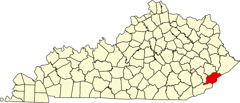
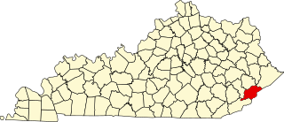
English: This is a locator map showing Letcher County in Kentucky. For more information, see Commons:United States county locator maps. |
| Tarih | |
| Kaynak |
Yükleyenin kendi çalışması: English: The maps use data from nationalatlas.gov, specifically countyp020.tar.gz on the Raw Data Download page. The maps also use state outline data from statesp020.tar.gz. The Florida maps use hydrogm020.tar.gz to display Lake Okeechobee. |
| Yazar | David Benbennick |
Lisanslama
| Ben, bu işin telif sahibi, bu işi kamu malı olarak yayınlıyorum. Bu dünya çapında geçerlidir. Bazı ülkelerde bu yasal olarak mümkün olmayabilir; öyleyse: Ben, bu işi herhangi bir amaç için, herhangi bir şart olmaksızın, yasalarca gerekli olmadıkça, herkesin kullanmasına izin veriyorum. |
Dosya geçmişi
Dosyanın herhangi bir zamandaki hâli için ilgili tarih/saat kısmına tıklayın.
| Tarih/Saat | Küçük resim | Boyutlar | Kullanıcı | Yorum | |
|---|---|---|---|---|---|
| güncel | 12.23, 12 Şubat 2006 | | 6.770 × 2.916 (127 KB) | David Benbennick | {{subst:User:Dbenbenn/clm|county=Letcher County|state=Kentucky}} |
Dosya kullanımı
Bu görüntü dosyasına bağlantısı olan sayfalar:
Küresel dosya kullanımı
Aşağıdaki diğer vikiler bu dosyayı kullanır:
- ar.wikipedia.org üzerinde kullanımı
- bg.wikipedia.org üzerinde kullanımı
- bpy.wikipedia.org üzerinde kullanımı
- cdo.wikipedia.org üzerinde kullanımı
- ceb.wikipedia.org üzerinde kullanımı
- ce.wikipedia.org üzerinde kullanımı
- cy.wikipedia.org üzerinde kullanımı
- de.wikipedia.org üzerinde kullanımı
- en.wikipedia.org üzerinde kullanımı
- Letcher County, Kentucky
- Blackey, Kentucky
- Fleming-Neon, Kentucky
- Jenkins, Kentucky
- McRoberts, Kentucky
- Whitesburg, Kentucky
- North Fork Kentucky River
- Seco, Kentucky
- List of counties in Kentucky
- Isom, Kentucky
- Eastern Kentucky Coalfield
- Template:Letcher County, Kentucky
- User:Nyttend/County templates/KY/2
- Letcher, Kentucky
- Ermine, Kentucky
- David A. Zegeer Coal-Railroad Museum
- National Register of Historic Places listings in Letcher County, Kentucky
- Category:Populated places in Letcher County, Kentucky
- Carbon Glow, Kentucky
- Gaskill, Kentucky
- Little Colly, Kentucky
- Uz, Kentucky
- Kingdom Come, Kentucky
- Hot Spot, Kentucky
- Ice, Kentucky
- Red Star, Kentucky
- Hubert, Kentucky
- Indian Bottom, Kentucky
- Neon, Letcher County, Kentucky
- Tillie, Kentucky
- Ulvah, Kentucky
Bu dosyanın daha fazla küresel kullanımını görüntüle.