
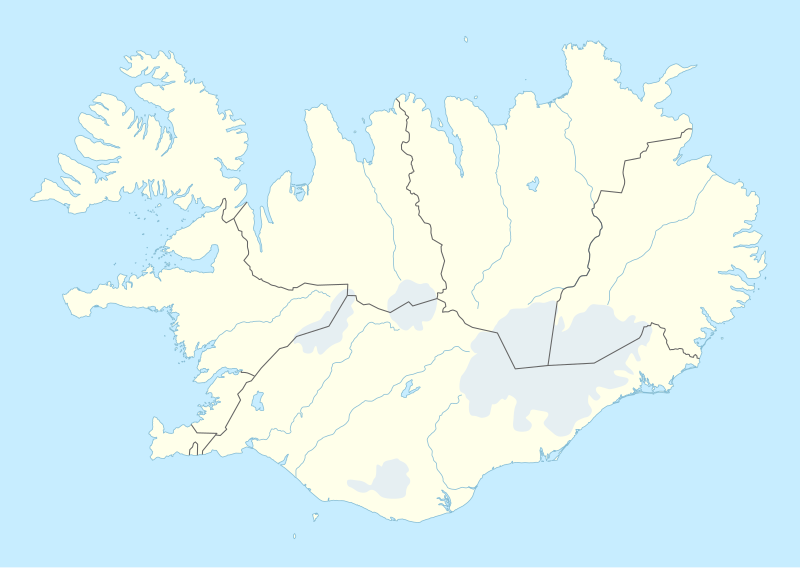
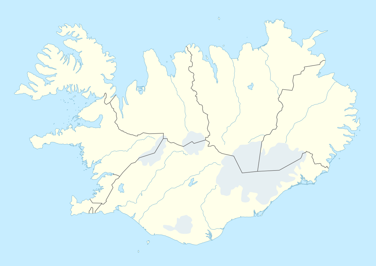
Dosya:Iceland adm location map.svg

Tam çözünürlük (SVG dosyası, sözde 1.186 × 841 piksel, dosya boyutu: 145 KB)
Bu dosya Wikimedia Commons'ta bulunmaktadır. Dosyanın açıklaması aşağıda gösterilmiştir. Commons, serbest/özgür telifli medya dosyalarının bulundurulduğu depodur. Siz de yardım edebilirsiniz. |
Özet
| Açıklama |
Deutsch: Positionskarte von Island
English: Location map of Iceland
|
||||||||||||
| Tarih | |||||||||||||
| Kaynak |
Own work using:
|
||||||||||||
| Yazar | NordNordWest | ||||||||||||

|
This map has been made or improved in the German Kartenwerkstatt (Map Lab). You can propose maps to improve as well.
|
Lisanslama
Usage of this file with:

explanatory notes: Legally binding is only the full legalcode. For a free usage I recommend to respect the following licence conditions:
1. Provide my name as given above: NordNordWest,
2. a copy of, or the URI for, the applicable license: https://creativecommons.org/licenses/by-sa/3.0/de/legalcode,
3. the title of the work,
4. in the case of an adaptation, a credit identifying the use of the work in the adaptation.
This license and the rights granted hereunder will terminate automatically upon any breach by you of the terms of this license. Any of the above conditions can be waived if you get permission from the copyright holder. If you have questions or wish differing conditions, please contact me through nnwest or my discussion page ![]() t-online.de
t-online.de
- Şu seçeneklerde özgürsünüz:
- paylaşım – eser paylaşımı, dağıtımı ve iletimi
- içeriği değiştirip uyarlama – eser adaptasyonu
- Aşağıdaki koşullar geçerli olacaktır:
- atıf – Esere yazar veya lisans sahibi tarafından belirtilen (ancak sizi ya da eseri kullanımınızı desteklediklerini ileri sürmeyecek bir) şekilde atıfta bulunmalısınız.
- benzer paylaşım – Maddeyi yeniden karıştırır, dönüştürür veya inşa ederseniz, katkılarınızı orijinal olarak aynı veya uyumlu lisans altında dağıtmanız gerekir.

Dosya geçmişi
Dosyanın herhangi bir zamandaki hâli için ilgili tarih/saat kısmına tıklayın.
| Tarih/Saat | Küçük resim | Boyutlar | Kullanıcı | Yorum | |
|---|---|---|---|---|---|
| güncel | 18.25, 11 Kasım 2022 | | 1.186 × 841 (145 KB) | NordNordWest | upd |
| 18.46, 19 Kasım 2018 |  | 1.186 × 841 (145 KB) | NordNordWest | complete version again | |
| 03.26, 19 Kasım 2018 |  | 1.186 × 841 (226 KB) | A Red Cherry | Many border shifts; updated to a newer SVG locator map | |
| 17.24, 15 Eylül 2014 |  | 1.186 × 841 (145 KB) | NordNordWest | == {{int:filedesc}} == {{Information |Description= {{de|1=Positionskarte von Island}} {{en|1=Location map of Iceland}} {{Location map series N |top=66.8 |bottom=63.1 |left=-25 |right=-13 }} |Source={{Own using}} * United States National Imagery and Map... |
Dosya kullanımı
Bu görüntü dosyasına bağlantısı olan sayfalar:
Küresel dosya kullanımı
Aşağıdaki diğer vikiler bu dosyayı kullanır:
- af.wikipedia.org üzerinde kullanımı
- an.wikipedia.org üzerinde kullanımı
- ast.wikipedia.org üzerinde kullanımı
- Eyjafjallajökull
- Eyjafjöll
- Þingvellir
- Keflavík
- Eyjafjörður
- Snæfellsnes
- Faxaflói
- Blönduósbær
- Skógafoss
- Faxi
- Dynjandi
- Seljalandsfoss
- Parque nacional Skaftafell
- Gullfoss
- Glymur
- Drangajökull
- Viðey
- Geirfuglasker
- Elliðaey
- Eldey
- Reikiavik
- Faloteca islandesa
- Kverkfjöll
- Alþingishúsið
- Laki
- Módulu:Mapa de llocalización/datos/Islandia
- Laugardalsvöllur
- Úrvalsdeild Karla
- Aeropuertu Internacional de Keflavík
- Aeropuertu d'Akureyri
- Aeropuertu de Bíldudalur
- Aeropuertu d'Egilsstaðdir
- Aeropuertu de Reikiavik
Bu dosyanın daha fazla küresel kullanımını görüntüle.